DAY ONE
Shadowman shows the way
Looking east from the summit of Mount Greylock
Meadow sown for pollinators near the town of Cheshire
Trail marker
It was 4th of July as I walked through Cheshire and the lawn parties had started
The 'small' ice cream that revived me as I left Cheshire
View north from the Cheshire Cobbles. Mount Greylock in the centre.
As Bill Bryson said in his book title this is 'A walk in the woods'. Or the "green corridor' as one hiker put it. A variety of trees but a lot of them and not many views. However the shade from the sun was a relief. It was 30 degrees centigrade and more. Carrying a full pack up and down the rocky paths was hard work. Covered 15 miles the first day.
Passing a small lake as the sun was dropping low in the sky
DAY TWO
Typical wooden house in the lovely little town of Dalton. Less than ten miles today and with an earlier start I stopped at an air conditioned cafe for lunch and a top up of water. Water supplies were from small brooks near the campsites and not always that inviting. Thankfully the purification tablets tasted fine.
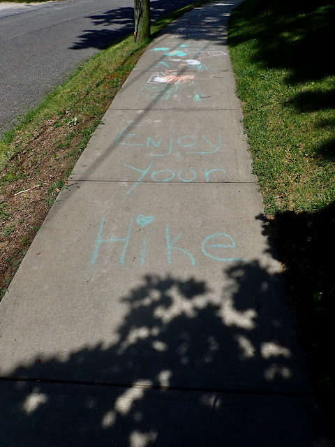
A kid's message on the sidewalk. Typical of the warm welcome hikers get.
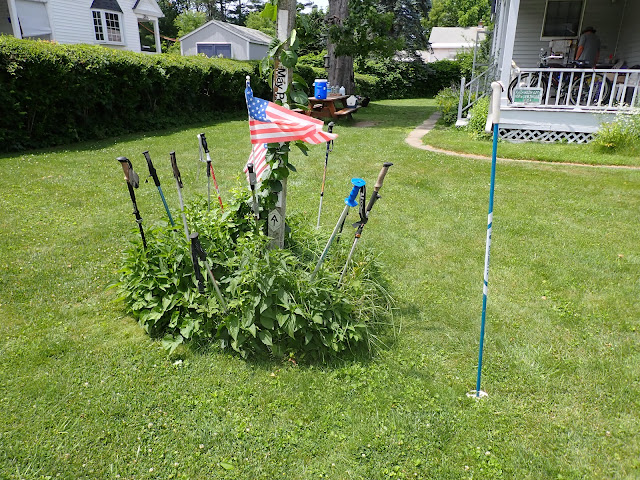
Tom's garden. He set out cold water and snacks for passing hikers.
Crossing the railway outside Dalton.
Paddling stop and catch up with shadow man.
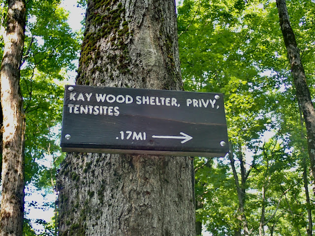
Sign for campsite. Composting toilets that smelled remarkably benign. Just don't look down...
Most sites also have an open sided shelter with bunks and a fire pit. Good option in bad weather but no mosquito protection so tents preferred. Didn't stop me getting a good collection of bites through the day!
At night all food (and toiletries) have to go into a bear proof container. I didn't see any sign of the local black bears. Plenty of squirrels, chipmunks, frogs, toads, various birds (some heard and not seen like owls and woodpeckers) and even one snake. Plus some butterflies, moths, beetles as well as the mozzies and biting flies.
DAY THREE
Well signed but I did have my GPS device and Personal Locator Beacon with me. Phone service patchy but the PLB can send texts via satellite so was able to check in with base.
Woodpeckers have been busy
Often rocky and washed out the path could also be soft and leaf covered
Duckboards in the wet areas
My tent set up for the night. Had all the vents open and mostly slept with only the sleeping bag liner.
DAY FOUR
Arriving at the finish and still going strong.
Walked on a bit further (sans pack) with my sister and nephew to Goose Pond where we had a picnic and refreshing swim


Looks amazing!
ReplyDeleteIt was hard work though.
DeleteLive the dream Sorley.
ReplyDeleteI am more than slightly jealous.
Maybe not of the mosquitos?
DeleteSolid start! Great to see how hospitable people are
ReplyDeleteYep very much so
DeleteBill Bryson's book was hilarious. I'm delighted that you are there. Looks fantastic. ❤️👍
ReplyDeleteIt was a good book. What you can't see are the mosquitos and the sweat running off me..
ReplyDelete